Wednesday, May 24, 2006

Cedartown, Georgia


The weather was great. A weak cold front had stalled just south of us yesterday, turned stationary for awhile and had been over come by a high pressure area in the Gulf turning into a warm front moving the other way. Clear sky, 10+ miles visibility and calm winds made for a perfect late afternoon flight. Cornelius Moore Field in Polk County GA is about 25 miles due west of home base. 4000ft of paved runway it is very busy on weekends with Skydivers. I usually avoid it for that reason, but I figured there wouldn't be any traffic on a Wednesday afternoon.

Objectives for this flight: Stay current in the Cessna 172. Hard to believe but my last logbook entry for a C172 was March 30th, so it was getting close to the 60 day limit for the club. I scheduled the airplane and arrived at the airport at about 5:30, just as it was coming back in. I got the dispatch kit and walked out to the airplane with just a slight sense of unfamiliarity. That went away quickly when I bumped my head on the extended flap during the preflight. It became very comfortable when I turned on the avionics master and the Garmin 430 sprang to life. I like this! Comm 2 has Ground dialed in with ATIS on standby, the 430 has the Tower as active and I can put the Unicom on standby. TOYS! (I love 'em.)

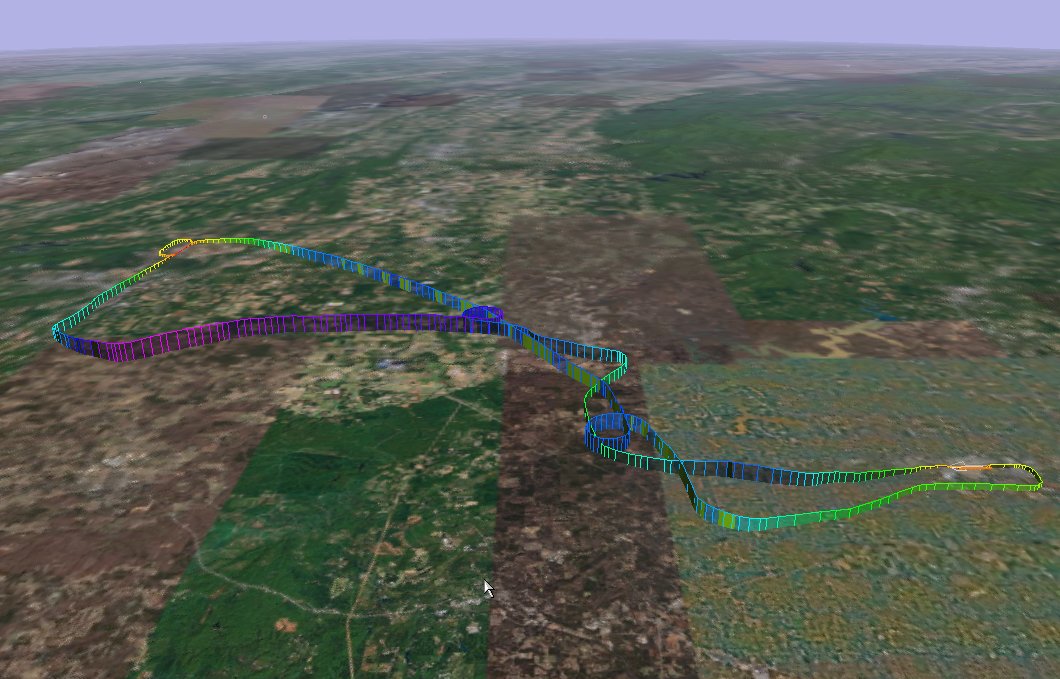
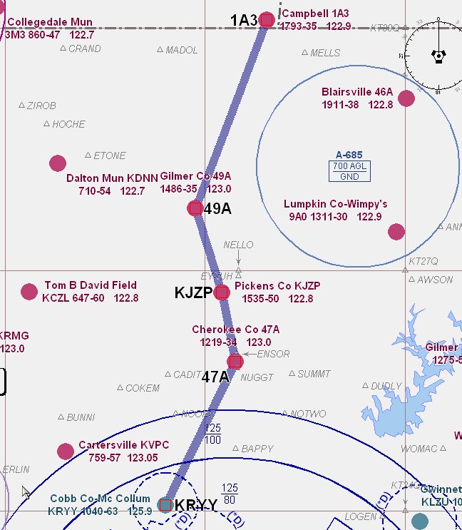
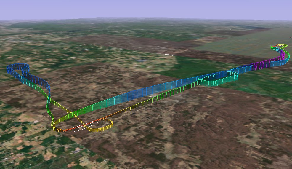
The plan is to fly west to the DALAS intersection, do the VOR/GPS RWY 28 into 4A4, then turn north to the Rome VOR and try the GPS-A back into 4A4. Next depart Cedartown and go over to Cartersville via ERLIN for a few T&Gs and return home for a visual full stop. That should give me some good use of the GPS, cover all the checklists and procedures, and have some fun as well.

Ground procedures all went well. Takeoff was normal and I climbed to 4500ft while heading toward DALAS intersection. The high wing does limit visibility compared to the Tiger, but I have to admit I really enjoy flying this plane now. She's a friend. My traffic is an Experimental, but he departs by the time I'm procedure turn inbound. Its nice to have the place all to myself. Checklists complete, there are some rather intimidating trees close to the end of the runway, so I come in a bit high (according to the VASI) but make a nice touch down.

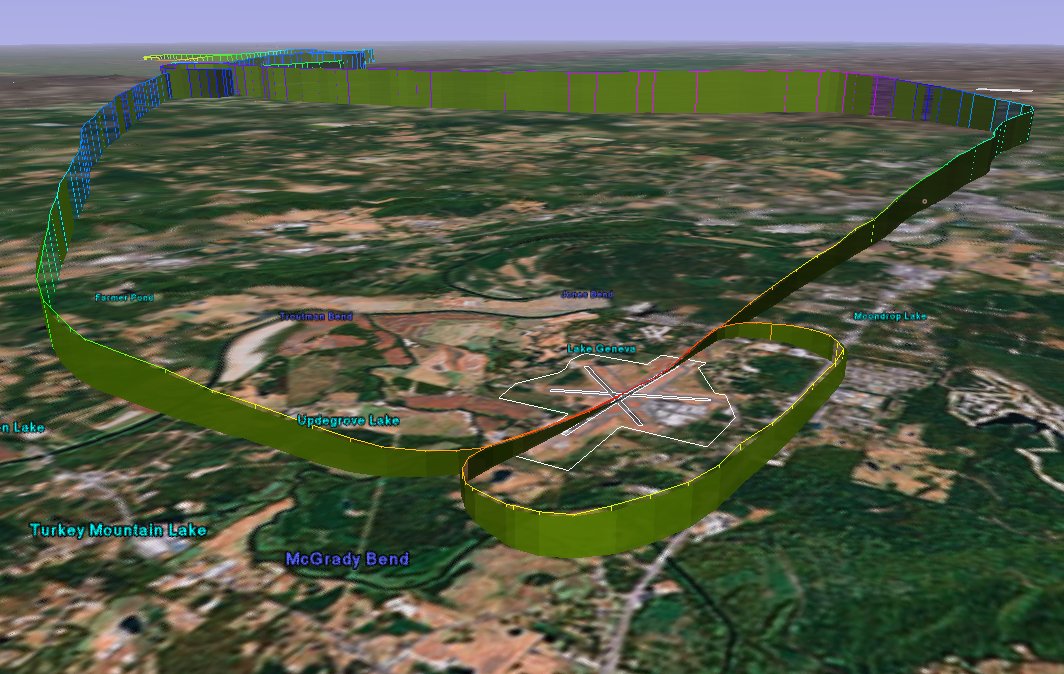
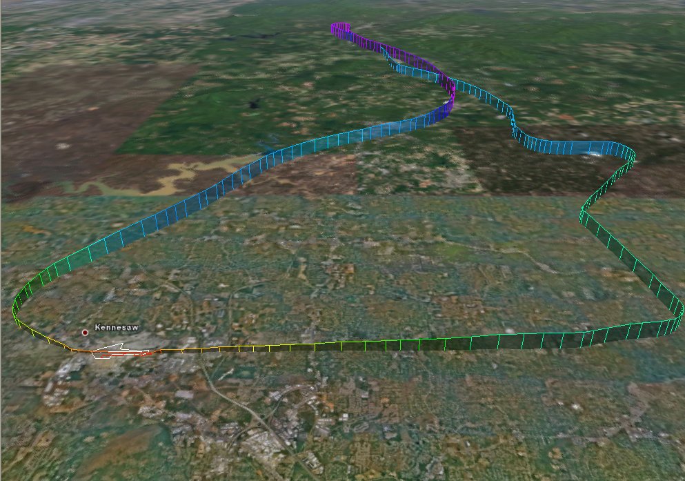
So, depart to the north, use Nav 2 VOR to go to RMG and take a turn in the holding pattern to reverse my course. UNICOM is still quiet but I make my calls at the VOR inbound, 5 miles, and 1 mile approaching the field. It is hard to see the runway down in the trees. Once over the field I time for 20 seconds and make a standard rate turn to the left for 90 degrees. I'm pleasantly surprised when I raise the wing to find myself just where I want to be. Another comfortable landing there and I turn north for ERLIN. Checking my watch says its time to go home, so I skip the Cartersville leg and head for Lost Mountain. It is just a beautiful day. Entry back home is uneventful. The most difficult part of the day is pushing the plane back into its slot. Steering is just a bit different on the Tiger...and today I had to push up hill.

I flew 114 miles, climbed to 4669 ft and reached 155 mph.C172
Time = 1.3

Saturday, May 20, 2006

Mandy and the Tiger

A long cold front stretched from the Great Lakes down to Atlanta and then back up to the Northeast giving New England floods of 'biblical proportions'. The precip wasn't quite so bad in the south but we had unstable air and wind gusts higher then 25 kts. Even when right down the runway, that's getting out of my comfort zone. My flight the previous night was cancelled due to high winds and very powerful isolated storm cells which moved through like freight trains.

METARs were still reading high winds, but now they were in the teens and forecasted to subside. No reported thunderstorm activity so I thought we could give it a try. On the drive to the airport we saw a few little puffy ones, and the winds seemed to be much better. We arrived about 4:30 local and watched some light airplanes taking off which just confirmed that we could go.

Mandy helped me take the cover off and do the walk around. Just back from a 100 hour inspection, everything seemed to be in order. Still some mix up with the avionics shop, so no new equipment to play with. Startup took a few extra cranks, I suppose because it had been sitting for awhile. After she started everything looked normal.

Ground told me to follow a King Air out taxiway bravo to the end of Rwy 27. As I got out of the ramp area a King Air was just about to take the runway. I mistakenly thought he was my traffic. Another pulled in behind me. No issue as I had room at the end of the taxiway to do my run up and be out of his way, but I'll remember to look more carefully next time.

It was a busy day. We watched a number of planes land including a Citation, a C172 a few helicopters and a an RV. Lights, camera, action and we were ready to go. Smooth take off and climb, I planned to go up to 4,500 but passing 3,000 she had a problems with her ears. So, I went back down to 2,500 and headed toward Cartersville (VPC). After a few minutes she felt better so I continued a gradual climb with no further problems. I let her fly a bit and she made a beautiful 360 degree turn. Later we headed up to Rome for a couple of T&Gs. She liked it.

Departed there and headed for home. As we got close to our housing development I circled to see if we could find our house, but no joy. So I called the tower, entered the down wind for a visual and made 'squeaker'. I like the Tiger.

We flew 128 miles, 156 mph over the ground and got up to 4891 ft on a beautiful clear day.

AA5B
Time = 1.5

Friday, May 05, 2006

Northern Hills


The weather had been unstable. Driving back from Georgia Tech the previous night I encountered pea sized hail and gusty winds. The slow moving cold front was still in the area stirring things up, and during my short drive to the airport I saw a 'big ugly' to the south. Once at KRYY all sectors but south looked OK, and the radar confirmed that going north should be acceptable.

My plan was to fly up to Campbell, TN(1A3). Just on the other side of the state border and the north Georgia mountains. My planner said it would be about 60 miles and take about 40 mins to get there.

Objective of the flight: Practice pilotage. I decided to 'hop" from one airport to the next, while keeping a close eye on the weather.

I had a slot from 6:00 to 8:00 local, but when I got to the airport the Tiger was out. Not a big deal since I was very flexible with my plan. I was surprised though, because until recently I had been one of the very few flying it. I just thought I would have it to myself until the new avionics were installed. (The shop got all the equipment, but there is some issue coupling the autopilot to the GPS. Maybe next week. The good news; a new DG was installed!)

All ground procedures were normal. Smooth takeoff and as I turned to the north I noticed some little puffy ones at about 5000ft. I leveled at 3500ft and headed toward Cherokee County. The air was smooth and visibility better then 8 miles. My predicted heading was validated with the GPS. So far, so good.

As 47A passed under my left wing I made the turn and climbed to 4500. Winds were calm, visibility still good and I began to see that the cloud deck was going from scattered to broken, and coming down. As I passed Pickens County I had a decision to make. The highest peak on my route looked to be 4262, and the quad height was listed at 4400 ft. The layer was still broken, so I could probably sneak through and get above it. But why? When out for a joy ride, discretion is the better part of valor. Time to go home.

I put 49A under my left wing, made the turn, descended to 3500 and headed for home. About 25 miles out I dialed up approach and asked for vectors to the ILS. Misty haze made westward visibility a problem, but I picked up the PAPI just inside AKONE (about 5 miles). I set the power just below the yellow arc, sat back and enjoyed the view. Zero wind. Flaps down, I ballooned a bit (need to work on that, maybe more nose down trim), but made a 'squeaker'.

A very nice flight. 5026 ft, max ground speed of 163 mph and a total of 114 miles.


AA5B

Time = 1.2

* Colorized track by goFlying.